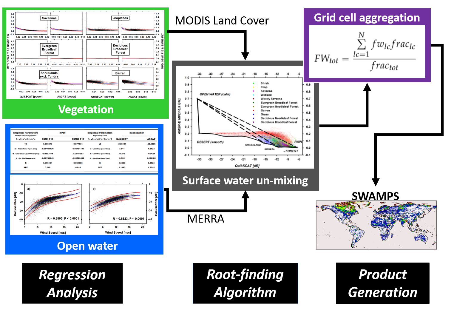
SWAMPS
The Surface Water Microwave Product Series (SWAMPS) is a gridded global surface water fraction product derived from combined passive-active microwave datasets (SSM/I, SSMIS, ERS, QuikSCAT, ASCAT). Its development was supported by the NASA MEaSURES Program
- Spatial resolution: 25 km
- Date range: Jan 1 1992 - Dec 31 2020
- Download here!
SWAMPS was derived using a land cover-supported, atmospherically-corrected dynamic mixture model applied to 20+ years of combined, daily, passive/active microwave remote sensing data. Learn more

This data set has been used in projects looking at large scale inundation patterns and methane modeling in wetlands across the globe.
